Data Science and Deep Learning in Satellite Image Processing: A Data Dimensionality Perspective
2024-10-03
Data Science and Deep Learning in Satellite Image Processing: A Data Dimensionality Perspective
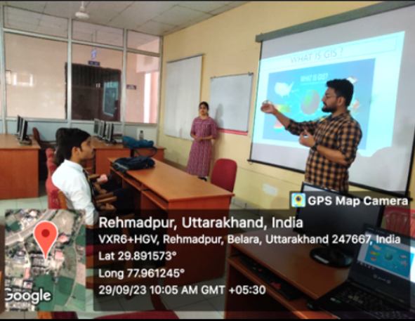
100+ students from the Departments of AIML (Artificial Intelligence and Machine Learning) and Cyber Security explored how data science and deep learning techniques address the challenges posed by the high dimensionality of satellite image data. This was achieved through an expert lecture by Dr. Gopal, a dedicated research fellow at the University of Leeds, on October 03, 2024.
The lecture highlighted key methodologies for dimensionality reduction and emphasized the role of deep learning in extracting actionable insights from complex satellite imagery. Applications discussed included classification, object detection, and change monitoring, showcasing the potential of advanced computational techniques in satellite data analysis.


